Promoting a biocultural corridor for the conservation, use, and enjoyment of its islands and channels
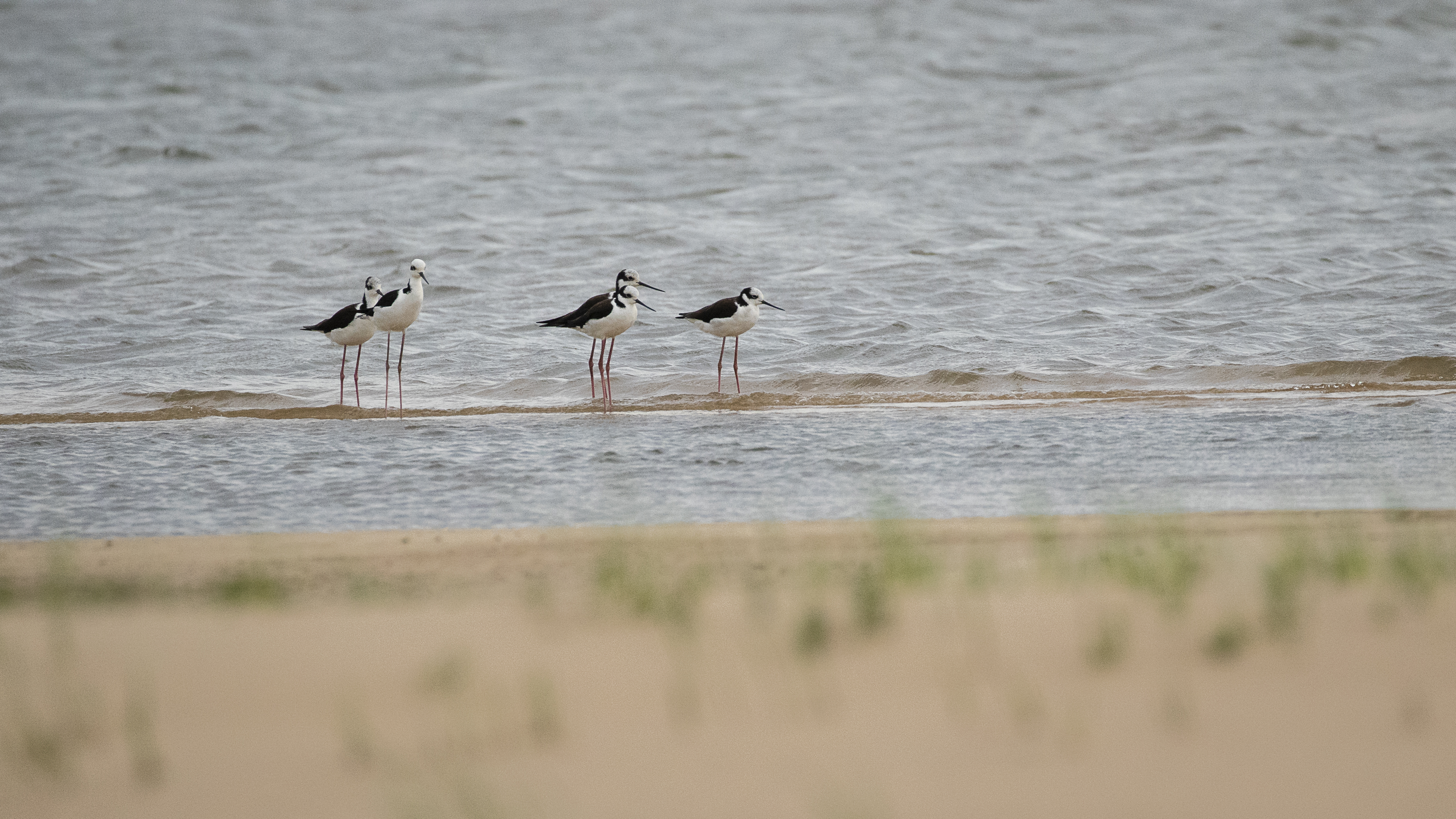
The lower section of the Uruguay River is an area made up of islands, channels, wetlands, grasslands, and riparian forests that are of great value for nature conservation. It also supports productive and cultural activities that benefit the coastal communities on both sides of the river: Argentina and Uruguay. The area includes wild environments such as lagoons, marshes, streams, and sandy beaches, which are habitats for plant and animal species.
Given its strategic biogeographical location, this sector functions as a biological corridor for numerous species (birds, fish, mammals, among others) both north to south across the Uruguay River and its environments, and east to west connecting with other ecoregions or biomes. It also provides a series of ecosystem services for society, such as its contribution to regulating river flooding, maintaining water quality, and preventing erosion.
Challenges
The environments and biodiversity of the Uruguay River are exposed to threats caused or aggravated by human activities. Various pressure factors have been identified, such as erosion processes on coastal embankments, the contribution of domestic and agricultural effluents and waste, the invasion of exotic plant and animal species, timber extraction, overfishing, hunting of native species, unregulated spontaneous public use, occupation of islands and construction of infrastructure, and the introduction of livestock on islands.
Our Work
Our goal is to promote the conservation of biodiversity and the ecological functions of the area. With this approach, since late 2020 we have been working to protect this biocultural corridor in a collaborative effort between various civil society organizations and the governments of the Province of Entre Ríos and the Republic of Uruguay, with the involvement of local communities and agencies, to build a shared vision that integrates perspectives and knowledge about the conservation values of the area, its problems and threats, and its uses and opportunities. We are making progress in the design and implementation of a Conservation Plan, a Public Use Plan for sustainable tourism activities, an Environmental Education Plan to highlight the values of the area and contribute to its knowledge, and support for scientific research.
Achivements
In November 2023, the creation of the Islas y Canales Verdes del Río Uruguay Provincial Natural Park was approved, consisting of 15 islands located on the Uruguay River near Puerto Campichuelo, Colonia Elía. We accompanied the process of donating the Campichuelo, San Genaro, and Dolores Islands to the Province of Entre Ríos. These are 2,700 hectares of private land that are added to public lands, resulting in a total area of more than 4,000 protected hectares. The Management Plan, a fundamental technical document that defines the guidelines for implementing the effective management of this protected natural area, was also approved. The plan was developed in a participatory manner, involving representatives of the local community, through field surveys, workshops, and a public consultation process. The efforts of all participating sectors made it possible to move forward with the deployment of trained personnel for the effective management of the areas, such as a corps of park rangers, the development of infrastructure, and the donation of equipment, such as shelters, signage, and trails, which will help local residents and visitors discover and enjoy the river and its surroundings. We also worked to offer opportunities to bring the community closer to the river, for example, through the environmental education program “Kayaks for Schools,” in which thousands of students and teachers participated.